


Maps - Leonardo da Vinci
Leonardo da Vinci (1452-1519) made researches and inventions in various fields. In addition to his technical, scientific and artistic drawings, he also has imagination amazing works of intensity. Military devices and machines are designed. He also made flying machines and similar designs. He has carried out extensive studies on human body proportions, anatomy and physiology.
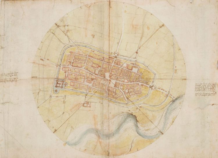
In 1502, Leonardo da Vinci turned to a different task. He had begun to work as a chief military architect and engineer alongside General Cesare Borgia. For almost a year in Central Italy, he traveled around the Tuscan and Umbrian regions alongside the General, drawing up topography drawings for military strategy. In addition to the city plan of Imola, he has made other plans and maps. Leonardo da Vinci, during his stay in Rome, worked on the project of drying the Pontini Swamp, drawing a detailed drawing of the region.
Imola's settlement plan, 1502
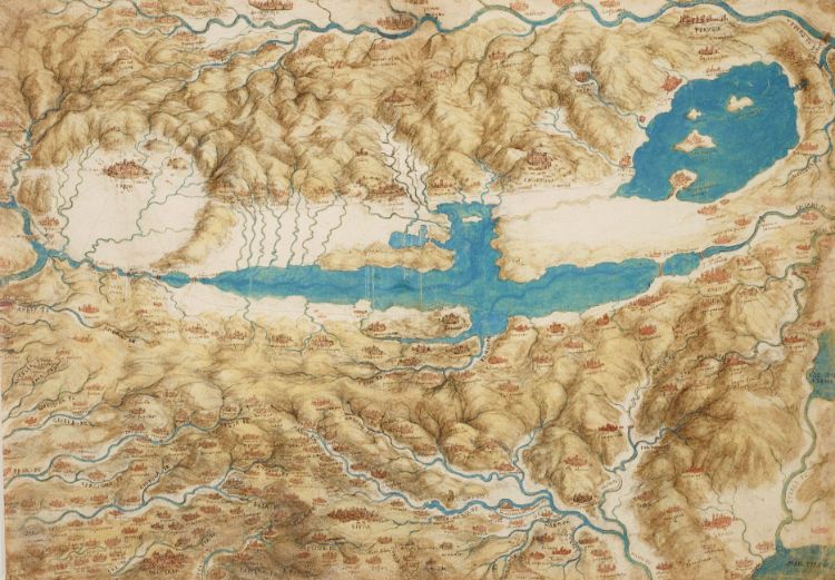
Bird's eye view of Val Di Chiana, c. 1503-1504
Bird's-eye map of Western Tuscany, c. 1503-1504
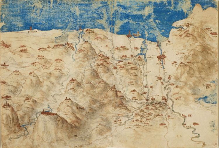
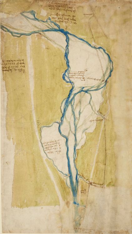
Map of Arno Valley and surroundings, c. 1503-1504
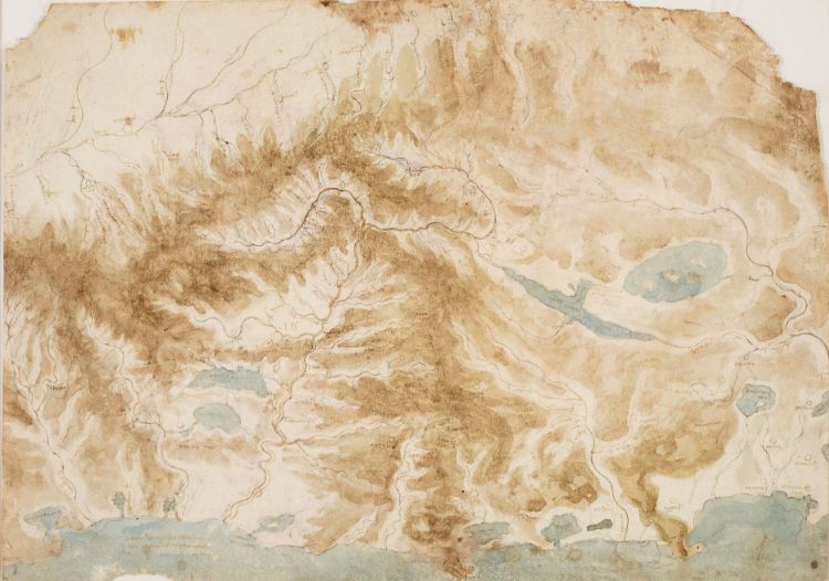
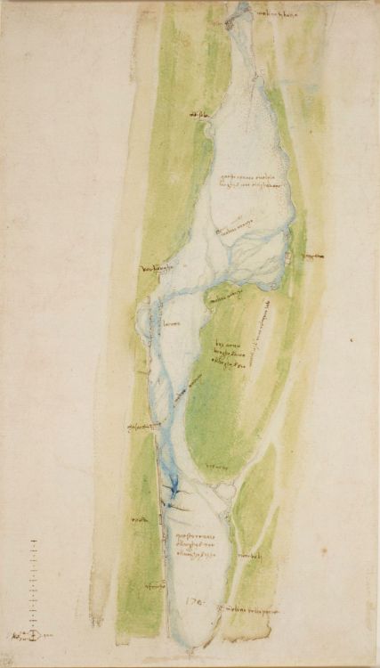
Arno map to the west of Florence, c. 1504
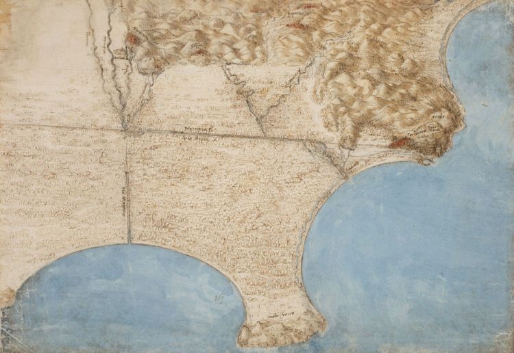
Arno map to the east of Florence, c. 1504
Map of the Pontini Swamp, 1515
Bibliography;
Zöllner, F., (2005). Leonardo, Birinci Basım, Taschen/Remzi Kitabevi, İstanbul.
Buchholz, E.L., (2005). Leonardo da Vinci, Literatür Yayıncılık, İstanbul.